When to (and NOT to) Use a Map

Copy of 60-SECOND DATA TIP_3.png

Reposted from December 2019

Maps can be a powerful way to show your data. But not always. Maps work best when . . .

1) Your audience already knows the geography.

Most Americans have a basic understanding of the size, demographics, land use, weather, and history of different regions of the U.S. It’s that foundational knowledge that makes maps like the following so effective. We think: wow, cows would take up all of the midwest if we put them all together, and urban housing would require only a portion of New England. Or, if only white men voted, just a few states in New England and the Northwest would go Democratic.

Source: Bloomberg

Source: Bloomberg

But when we are not familiar with the geography, maps are much less illuminating. For example, if you don’t know Ireland well, then this map does not shed much more light on the matter than the simple bar chart in the upper left hand corner. It tells us which clans are most prevalent, which is all the map also shows us unless we know more about the different regions.

Source: Brilliant Maps

2. You are showing the significance of proximity or distance.

Even if your audience is not familiar with the geography (and sometimes especially when they are not familiar with it), maps can be an effective way to show proximity or distance. This map of the Eastern Congo shows us how close armed groups (in green) are to internally displaced people (in purple). Just naming the cities or regions where these two groups are would not be effective for audience unfamiliar with the geography.

Source: Brilliant Maps

For more information on when to use a choropleth map (in which regions are filled with a color, shades or patterns to represent a value), check out this great article from Datawrapper.


Let’s talk about YOUR data!

Got the feeling that you and your colleagues would use your data more effectively if you could see it better? Data Viz for Nonprofits (DVN) can help you get the ball rolling with an interactive data dashboard and beautiful charts, maps, and graphs for your next presentation, report, proposal, or webpage. Through a short-term consultation, we can help you to clarify the questions you want to answer and goals you want to track. DVN then visualizes your data to address those questions and track those goals.

Create A Map Dashboard To Show Your Organization's Reach

60-SECOND DATA TIP_3.gif

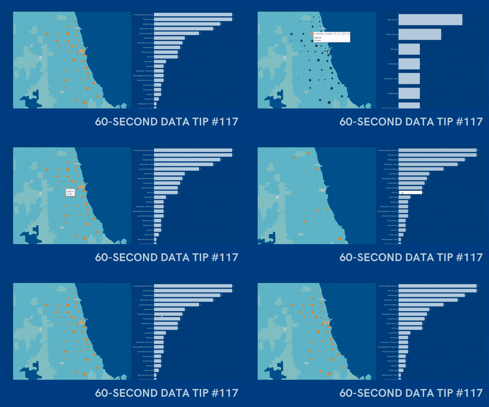
An interactive map is a great way to show donors, board members, prospective funders and other stakeholders whom you serve, including their age, location, income, and other characteristics. I’m doing a webinar on December 10, 2020 where I will teach you how to create an interactive map dashboard, like the one below, in less than an hour using Tableau Public, the free version of Tableau, a powerful data visualization tool. You can create a map dashboard with a simple Excel file, as long as it includes geographic data, such as zip codes. And you can embed the dashboard on your website, as I’ve done here. Play around with the dashboard below to explore the possibilities. And click HERE to register for the webinar.


Let’s talk about YOUR data!

Got the feeling that you and your colleagues would use your data more effectively if you could see it better? Data Viz for Nonprofits (DVN) can help you get the ball rolling with an interactive data dashboard and beautiful charts, maps, and graphs for your next presentation, report, proposal, or webpage. Through a short-term consultation, we can help you to clarify the questions you want to answer and goals you want to track. DVN then visualizes your data to address those questions and track those goals.


Seeing Red, Blue, and Purple - What We Can Learn From Election Maps

60-SECOND DATA TIP_3.png

A wide range of election maps are in your immediate future. What you learn from those maps depends, in part, on how they are designed. Indeed, election maps and other types of maps can change our attitudes toward issues. In this 15-second tip, I recommend that you invest an additional couple of minutes watching The New York Times’ excellent slide show on how election maps can fool you. It will help you to be both a better consumer and designer of maps.

To see past data tips, including those about other chart types, click HERE.

When to (and NOT to) Use a Map

Copy of 60-SECOND DATA TIP_3.png

Maps can be a powerful way to show your data. But not always. Maps work best when . . .

1) Your audience already knows the geography.

Most Americans have a basic understanding of the size, demographics, land use, weather, and history of different regions of the U.S. It’s that foundational knowledge that makes maps like the following so effective. We think: wow, cows would take up all of the midwest if we put them all together, and urban housing would require only a portion of New England. Or, if only white men voted, just a few states in New England and the Northwest would go Democratic.

Source: Bloomberg

Source: Bloomberg

Source: Brilliant Maps

But when we are not familiar with the geography, maps are much less illuminating. For example, if you don’t know Ireland well, then this map does not shed much more light on the matter than the simple bar chart in the upper left hand corner. It tells us which clans are most prevalent, which is all the map also shows us unless we know more about the different regions.

Source: Brilliant Maps

2. You are showing the significance of proximity or distance.

Even if your audience is not familiar with the geography (and sometimes especially when they are not familiar with it), maps can be an effective way to show proximity or distance. This map of the Eastern Congo shows us how close armed groups (in green) are to internally displaced people (in purple). Just naming the cities or regions where these two groups are would not be effective for audience unfamiliar with the geography.

Source: Brilliant Maps

I found all of these maps on Grafiti.

Data Viz for Nonprofits helps organizations to effectively and beautifully present their data on websites, reports, slide decks, interactive data dashboards and more. Click HERE to learn more about our services and HERE to set up a meeting to discuss how we can meet your particular needs.